ミッションブリーフィング 
The Battle of Keren was fought from 3 February 1941 to 1 April 1941 between the colonial Italian army defending Eritrea and the invading British and Commonwealth forces.
Keren was a town located in the Italian colony of Eritrea and was of strategic importance to both the Italian and the British forces.
The road and railway routes through Keren were the key to access the city of Asmara and the Red Sea port of Massawa.
ケレンの戦いは1941年2月3日から1941年4月1日にかけて、
エリトリアを守備するイタリア植民地軍と侵攻してきたイギリスおよびコモンウェルス軍との間で行われた戦いである。
ケレンはイタリア植民地のエリトリアにある街であり、両軍にとって戦略的要所となっていた。
ケレンを通る道路と鉄道は、エリトリアの首都アスマラと紅海に通じる港マッサワへと通じる重要なものだからである。
関係しそうなwikipedia:
WikiPedia.ja:ケレンの戦い
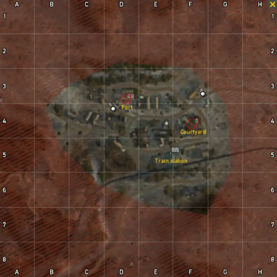
マップ 
コメント 
その他備考 
イタリア軍の初期配置リスト 
| 拠点名 | キットもしくは兵器 | 数量 | 備考 |
| Courtyard | Fiat 508 | 1 |
イギリス軍の初期配置リスト 
| 拠点名 | キットもしくは兵器 | 数量 | 備考 |
| Fort | Daimler Dingo | 1 |
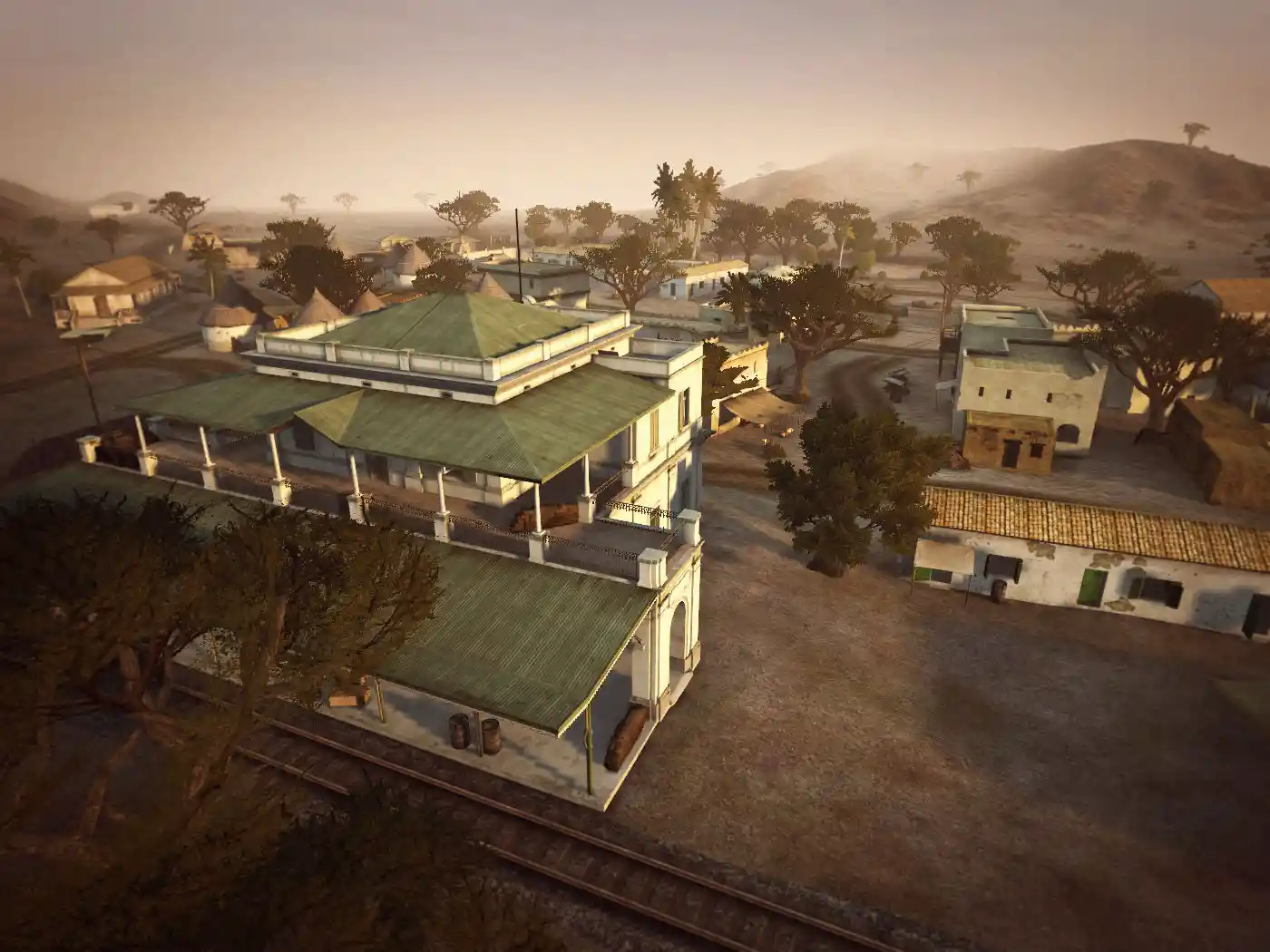
中立拠点の初期配置リスト 
| 拠点名 | キットもしくは兵器 | 数量 | 備考 |
| Train station |

 新規
新規 編集
編集 添付
添付 一覧
一覧 最終更新
最終更新 差分
差分 バックアップ
 凍結
凍結 複製
複製 名前変更
名前変更 ヘルプ
ヘルプ


