ミッションブリーフィング 
The British 47 Royal Marine Commando landed on Gold Beach on D-Day.
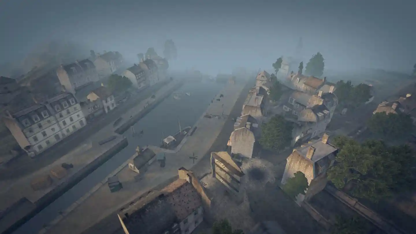
After advancing nine miles through enemy territory they began their assault on the small harbour of Port-en-Bessin on 7th June.
Flanked by sheer cliffs and fortifications, lying between the Gold and Omaha beaches,
Port-en-Bessin would not only serve as the link up point between the American and British sectors,
but would also become the main port for allied fuel deliveries to Normandy until Cherbourg had been liberated.
Opposing the Commandos was the German 352nd Infantry Division,
the same unit that had wreaked havoc on the American troops at Omaha Beach a day before...
イギリス軍第47海兵隊コマンド部隊はD-Dayにおいて、ゴールドビーチに上陸した。
6月7日、彼らは敵中を9マイル進んだ後小さな港町Port-en-Bessinを強襲した。
ゴールドビーチとオマハビーチの間に位置し、側面を切り立った崖と防御設備に囲まれたPort-en-Bessinは、
アメリカ軍とイギリス軍の作戦区域の連結点としての役目のみならず、
シェルブール解放までの間、連合軍の主要な燃料積み上げ港になる予定であった。
これに対するは前日オマハビーチでアメリカ軍に大損害を与えたドイツ軍第352歩兵師団であった…。
関係しそうなwikipedia:
WikiPedia.ja:ノルマンディー上陸作戦#ゴールド・ビーチ
WikiPedia.en:Gold Beach#Item Sector (英語)
(英語)
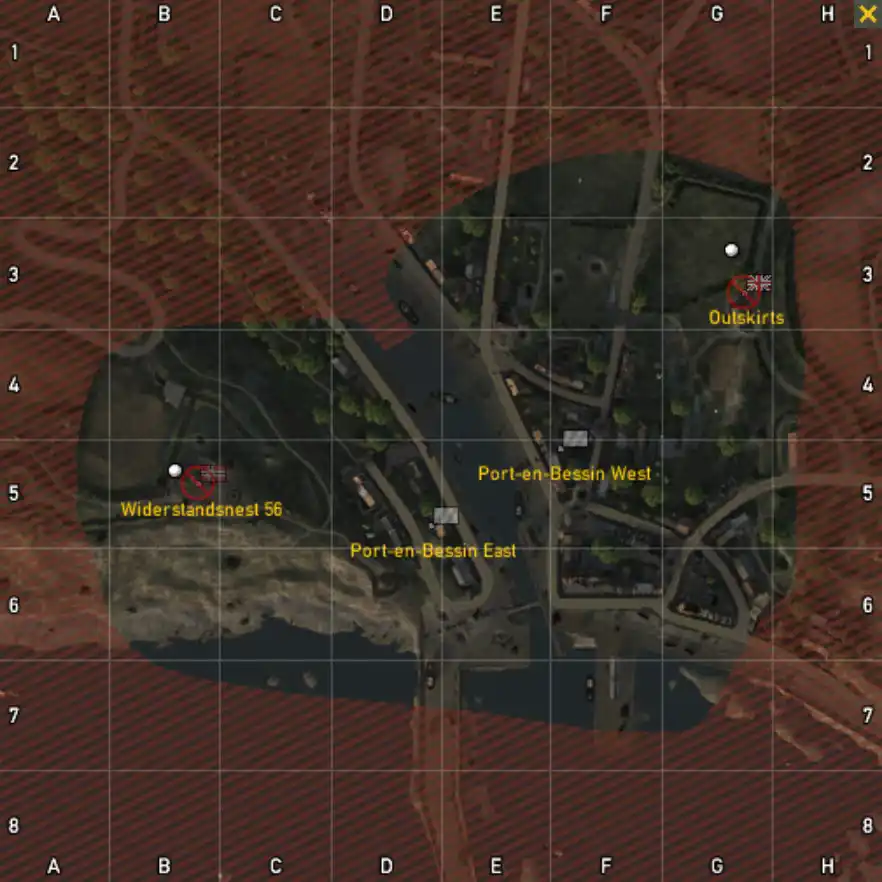
マップ 
コメント 
- ぱっと見は等条件に見えるが、枢軸側のPort-en-Bessin Eastの方が守りにくく攻められやすいため、やや枢軸がつらいか。 -- 2012-04-15 (日) 04:53:27
その他備考 
兵器やキットの初期配置や拠点制圧後の出現もない。
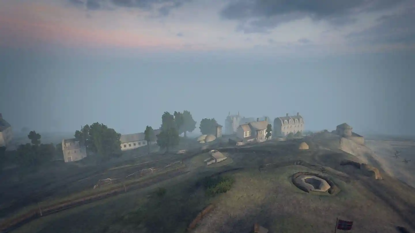
ドイツ軍の初期配置リスト 
| 拠点名 | キットもしくは兵器 | 数量 | 備考 |
| Widerstandsnest 56 |
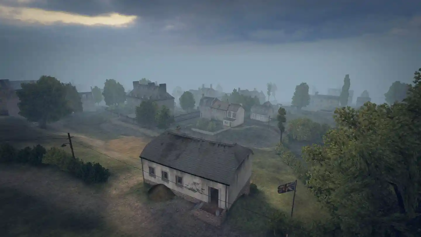
イギリス軍の初期配置リスト 
| 拠点名 | キットもしくは兵器 | 数量 | 備考 |
| Outskirts |
中立拠点の初期配置リスト 
| 拠点名 | キットもしくは兵器 | 数量 | 備考 |
| Port-en-Bessin East | |||
| Port-en-Bessin West |

 新規
新規 編集
編集 添付
添付 一覧
一覧 最終更新
最終更新 差分
差分 バックアップ
 凍結
凍結 複製
複製 名前変更
名前変更 ヘルプ
ヘルプ


