ミッションブリーフィング 
12th June 1944.
British forces are advancing on Caen.
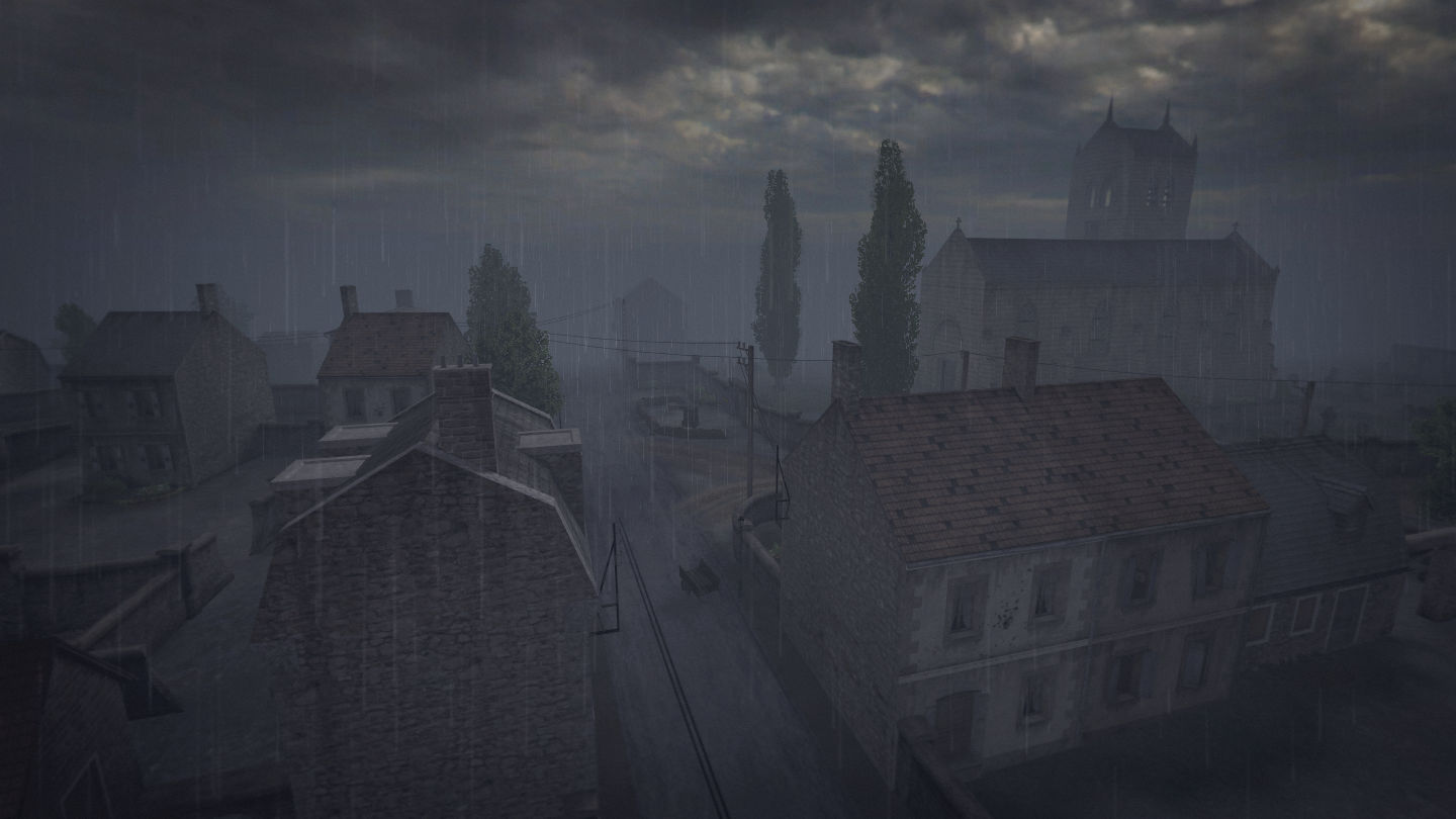
In their path stands the seemingly harmless village of Anctoville.
In the morning, as the rain pours down, they enter the village unaware of what awaits them.
As they appear among the houses, the German defenders open fire.
In the following fight the British forces must secure the village and outskirts to allow vital reinforcements to reach Caen.
The Germans must hold this vital location to prevent the Allies advance.
1944年6月12日
イギリス軍はカーンへ向けて進軍中である。
彼らの進路上には一見のどかなアンクトヴィルという村があった。
その日の朝、彼らは土砂降りの雨が降りしきるため、
そこで何が待っているかに気づくこともなく村へと入っていった。
彼らが村の中心部へと姿を現すと、ドイツ守備隊は攻撃を開始した。
この戦いにおいて、イギリス軍は村及びその郊外を確保し、
カーンに重要な援軍が到達できるようにしなくてはならない。
他方、ドイツ軍はこの要所を維持することで連合軍の進軍を妨げなくてはならないのだ。
関係しそうなwikipedia:
無さそう
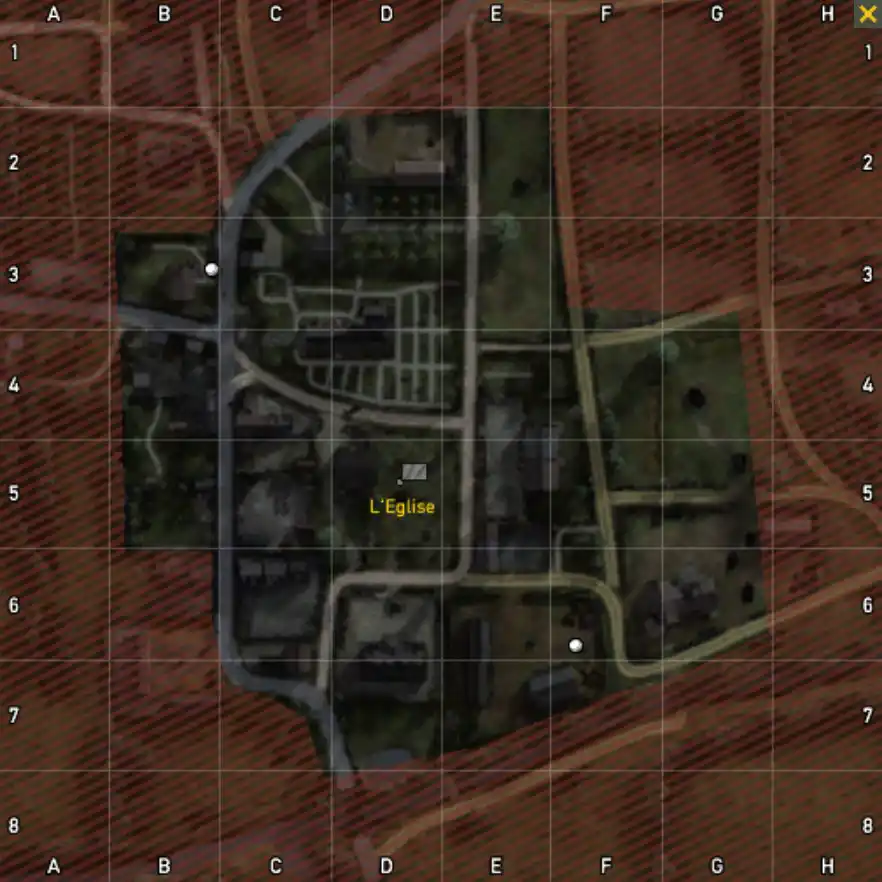
マップ 
コメント 
その他備考 
King of the Hillルール採用マップ
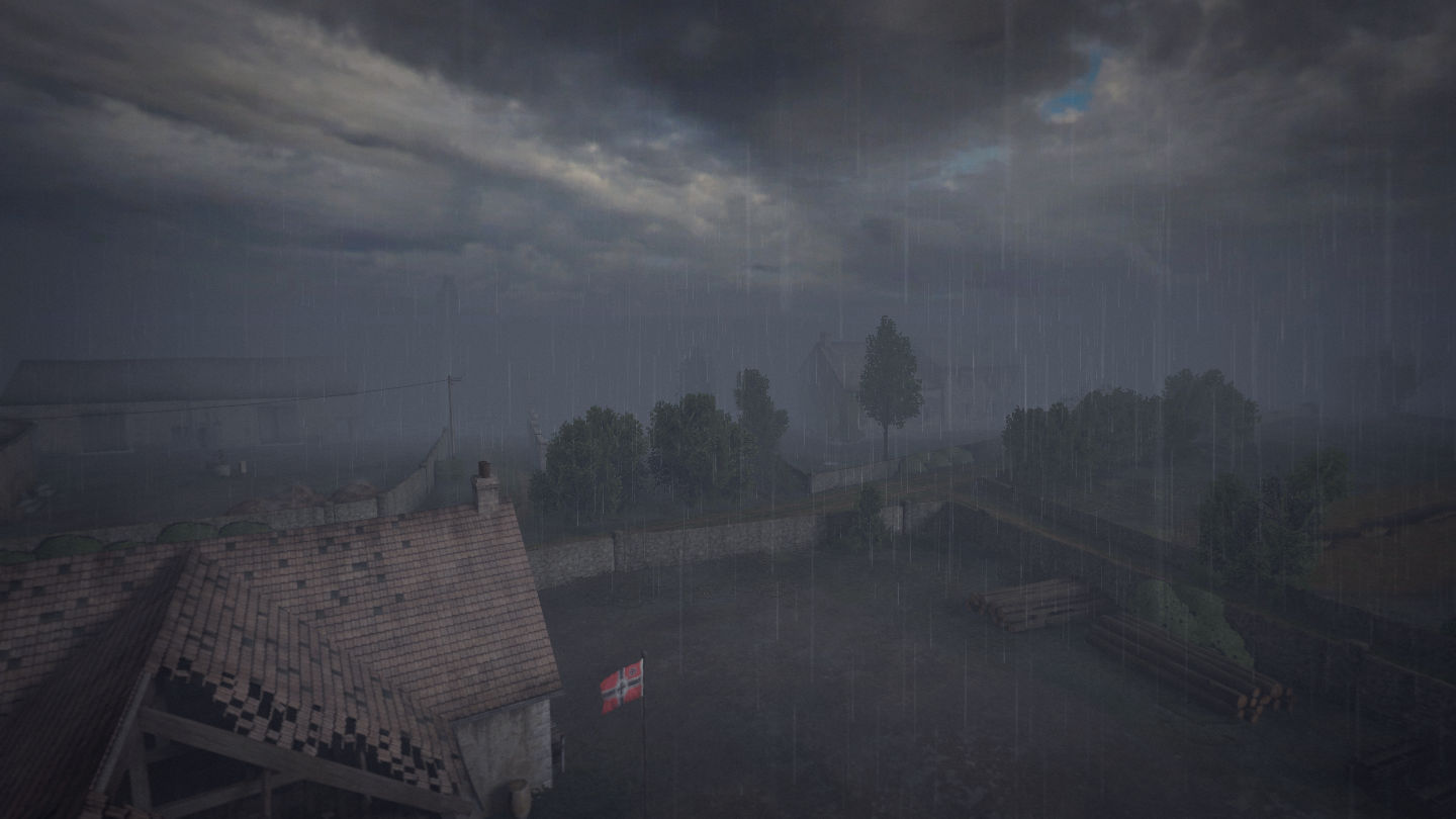
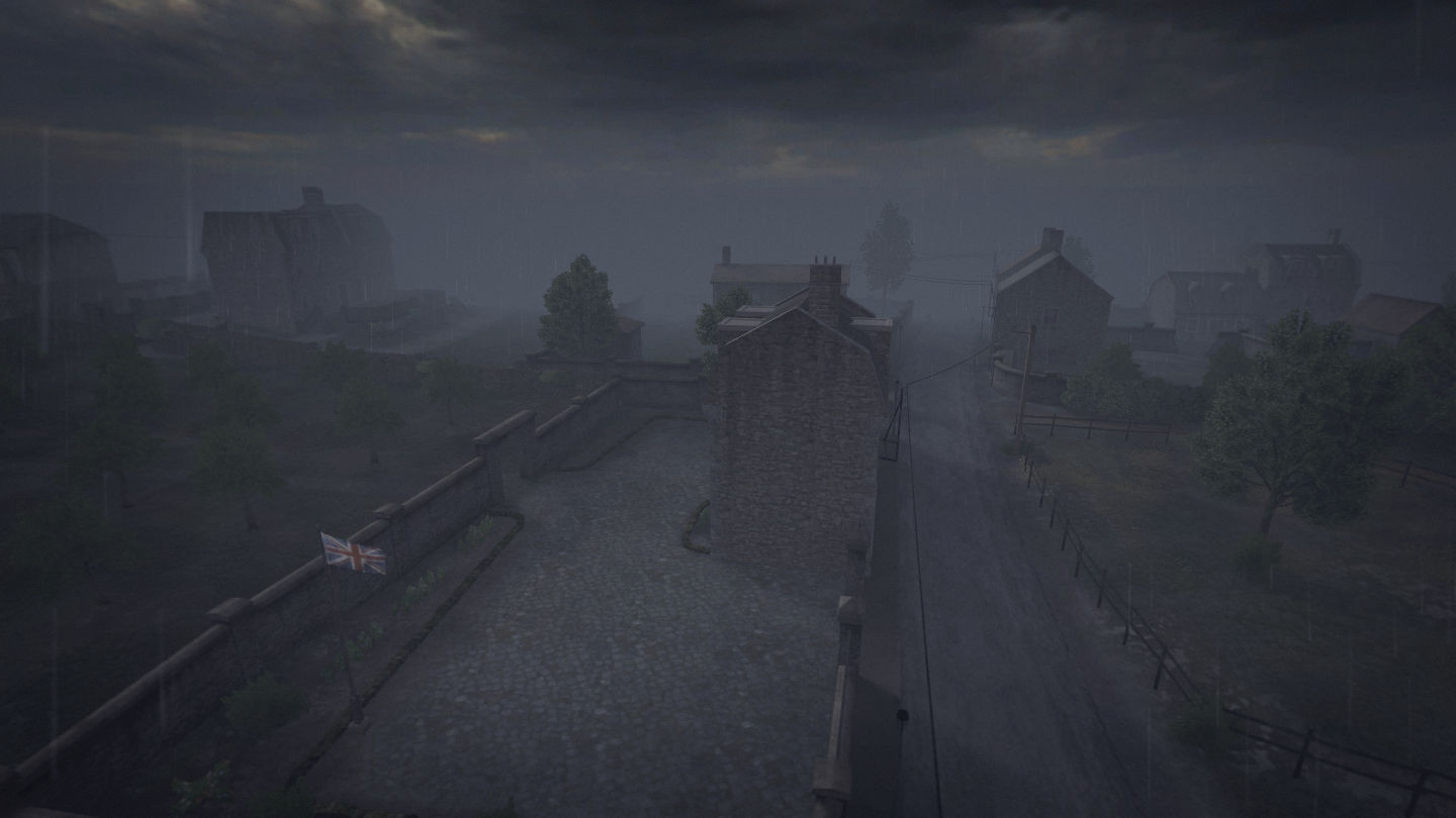
リスポンポイントはマップ左上がイギリス軍、右下がドイツ軍。
兵器やキットの初期配置や拠点制圧後の出現もない。
ドイツ軍の初期配置リスト 
| 拠点名 | キットもしくは兵器 | 数量 | 備考 |
| German Base |
イギリス軍の初期配置リスト 
| 拠点名 | キットもしくは兵器 | 数量 | 備考 |
| British Base |
中立拠点の初期配置リスト 
| 拠点名 | キットもしくは兵器 | 数量 | 備考 |
| L'Eglise |
変更点(Ver2.50) 
・ライフル兵が手榴弾もしくはライフルグレネードを所持するように変更

 新規
新規 編集
編集 添付
添付 一覧
一覧 最終更新
最終更新 差分
差分 バックアップ
 凍結
凍結 複製
複製 名前変更
名前変更 ヘルプ
ヘルプ


